

- This excursion has passed.
Online professional learning: Changes over time using satellite imagery (Teacher)
Mar
Join us for an afternoon of exploring real geoscience data and come away with ideas and activities for classroom use.
ACTIVITY OUTLINE:
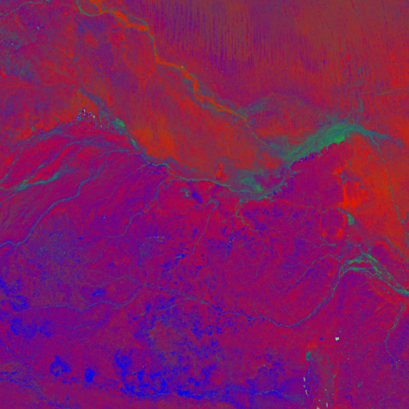
As humans that live on the Earth’s surface, we cause change when we build cities and infrastructure, grow crops and use resources. Satellite imagery is a primary tool for observation and analysis of these changes.
This online teacher professional learning session will explore how you can access and use historical satellite data to observe changes to the Earth’s natural and man-made surface features and provide you with some classroom-ready activities. The content will support the delivery of many parts of the geography curriculum as well as science.
IS THIS A FREE EVENT? Yes
BROUGHT TO YOU BY: Geoscience Australia
Event Details
Date & Time
06-Mar-2024 04:00PM + Google Calendar + iCal Export
Event Type
Live Event - Scheduled
Delivery Platform
Duration
Price
Free
Curriculum
Secondary
Main KLA, Strand, Sub Strand
Science and Tech » Earth and Environmental Science
Other KLAs
Science and Tech » Earth and Space 7-10
Professional Development
Will This Event Be Recorded?
Yes
If you have any questions regarding the recorded content please contact the provider.
Name: Education
Phone: 0262499673
Email: [email protected]
Joining The Event
Technology and Materials Requirements
We recommend having access to a mouse and second monitor to make the session easier to follow, but understand some participants may be joining from a laptop. Tablets are not recommended for this session.
Connecting To The Event
The session will be delivered through online conferencing platform Microsoft Teams.
Register for the event at the link below.
https://www.eventbrite.com.au/e/online-professional-learning-changes-over-time-using-satellite-imagery-tickets-813567631687?aff=oddtdtcreator